
TourLink
About
Arslanbob changes the southern road from transit into village time.
A clear visit starts from the Jalal-Abad road, settles into village scale, then moves into the walnut forest. Big Waterfall belongs after the path, weather, and return plan feel clear.
Let the forest set the first pace. The waterfall can add the mountain edge when conditions and the return plan support it.
Agencies and travellers who need Arslanbob as a readable stop — strong places, honest pacing, and logistics that hold.
Getting around
A clear visit starts from the Jalal-Abad road, settles into village scale, then moves into the walnut forest. Big Waterfall belongs after the path, weather, and return plan feel clear.
How the visit moves
Let the forest set the first pace. The waterfall can add the mountain edge when conditions and the return plan support it.
Jalal-Abad frames the approach into the region before the route narrows toward the village.
Route map
Use the map as orientation, not a promise of a walking route: Jalal-Abad frames the approach, Arslanbob marks the village, the walnut forest anchors the landscape, and Big Waterfall marks the higher walk.
What to see
The walnut forest is the first anchor, with shade, village paths, and slopes around the settlement. Big Waterfall adds the stronger uphill walk. The Small Waterfall, harvest stories, or higher routes should stay conditional until local timing and access are clear.
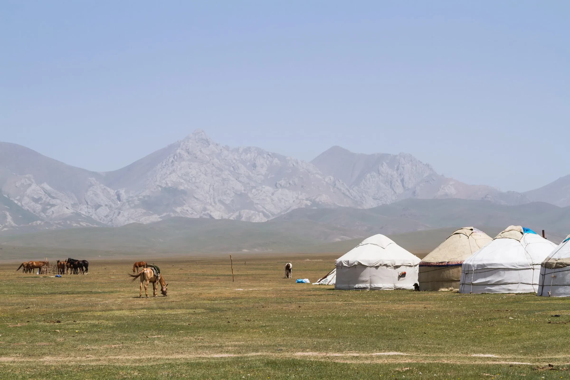
The walnut forest begins just above the houses: shade, water channels, and footpaths move the visit from the road into the valley. Waterfall walks sit nearby, but weather, season, and local guidance decide how far the route should go.
Open placeBig Arslanbob Waterfall pulls the village visit out of walnut shade and toward steeper ground. The walk still begins with Arslanbob itself: paths, water, weather, and local advice decide whether the higher cascade belongs in the route.
Open placeSmall Arslanbob Waterfall keeps the water within village scale. Consider it when the walnut forest, footpaths, and local advice point toward a gentler Arslanbob outing instead of the longer walk to Big Waterfall.
Open placeVillage rhythm
These moments should stay modest and true: shade under the walnut trees, a waterfall decision made with care, and village time added only when local arrangements are real.
Meals, hosts, or a longer stay can add warmth, but only when people and standards are ready. Arslanbob should not depend on automatic extras.
Big Waterfall gives Arslanbob its steeper mountain movement. Keep it for weather, footwear, local advice, and the return plan that make the walk feel clear.
The forest sets Arslanbob's pace before any longer walk: shade, footpaths, water nearby, and enough quiet to feel why the village needs time.
Before you go
Arslanbob opens best when travelers give the village time and keep choices modest. The forest, waterfall, and local arrangements can belong together, but slope, weather, rooms, meals, and return plans need current checks.
The walnut forest gives the village its identity. Spend time with the shade, paths, slopes, and water before adding higher or longer plans.
Arslanbob feels strongest when the forest sets the pace and the waterfall is chosen for the right day.
Big Waterfall is the strongest public walk for this stage. Footing, heat, rain, water level, footwear, and return timing should shape the choice.
Guesthouses, meals, community visits, harvest moments, and guided mountain routes need current confirmation. They add warmth only when the people and standards are prepared.
Leave with the village rhythm intact: walnut shade, one clear walk, and local arrangements that were genuinely ready.
At a glance Route role
Arslanbob gives the Jalal-Abad & Arslanbob region a slower mountain stop.
Main anchors
These are the clearest visit anchors; smaller waterfall ideas stay conditional.
Stay
Check rooms, meals, host readiness, and route comfort close to travel.
Access
Weather, slope, footwear, water level, and local advice matter more than a tidy map.
Local add-ons
Harvest stories, family time, Babash-Ata ideas, and longer hikes need separate confirmation.
Nearby
Osh gives the south its city anchor; Uzgen adds a focused Silk Road stop when the road plan allows. Jalal-Abad and Sary-Chelek remain important choices, but they need separate checks before they join the same stay.
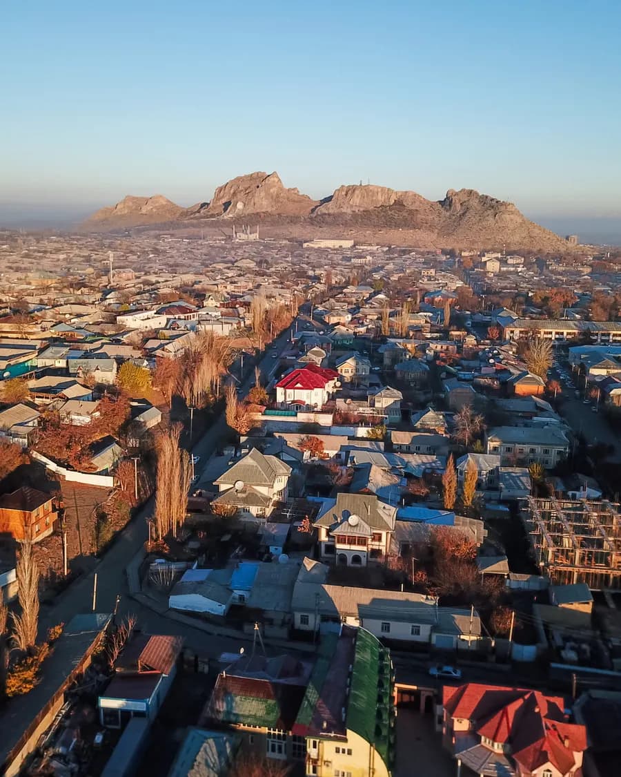
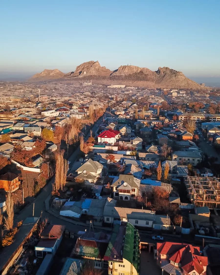
Osh is where Kyrgyzstan turns south: Sulaiman-Too above the city, bazaar lanes below it, and roads toward Uzgen, Alay, Sary-Mogul, and the Fergana edge.
ViewUzgen is the Osh-side Silk Road town where Karakhanid brickwork, a compact town setting, and the return road turn one heritage stop into a calmer southern route choice.
ViewCity in detail
Walking time, overnight location, and when day trips make sense.
2–3 nights is usually enough when the old core or main anchors get a full walking window. City tone: “Walnut shade and waterfall walks in southern Kyrgyzstan”.
Start with the compact city walk first. Day trips only after the centre has settled — otherwise the stop feels like a transfer with monuments attached.
Stay close enough for an evening return on foot or a short transfer. That keeps tea, dinner, and a second pass through the lanes easy without burning the next morning.
On request
We help agencies set a realistic pace and choose the right next move — without rushing the places that matter.