
TourLink
About
Jalal-Abad / Manas is where the western Kyrgyzstan map starts to feel practical.
Jalal-Abad / Manas helps travelers settle the next direction before the road becomes more rural, seasonal, and access-dependent.
Arrive first, then choose one clear continuation.
Agencies and travellers who need Jalal-Abad / Manas as a readable stop — strong places, honest pacing, and logistics that hold.
Getting around
Jalal-Abad / Manas helps travelers settle the next direction before the road becomes more rural, seasonal, and access-dependent.
Route choices
Arrive first, then choose one clear continuation.
After Osh or a long road from the north, the city gives you food, beds, supplies, and a calmer start before mountain or forest roads.
Route map
The map keeps the city stop and the two western decisions in one frame.
Road moments
These short moments keep Jalal-Abad / Manas practical without turning it into a sightseeing checklist.
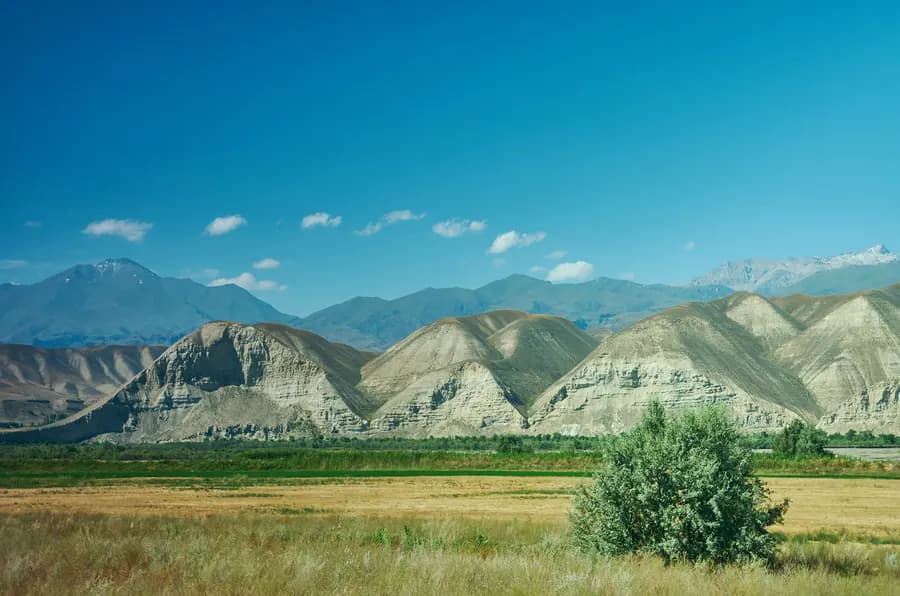
Sary-Chelek changes the route with protected-area rules, road condition, and season, so the decision should stay flexible until local checks are clear.
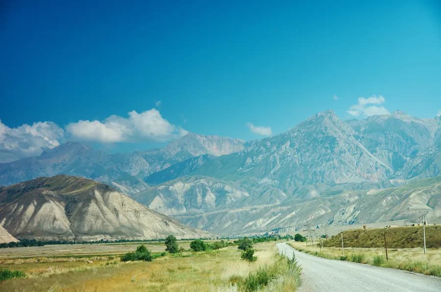
The walnut-forest direction feels stronger when hosts, walks, shade, and waterfall access are treated as a real continuation, not a quick detour.
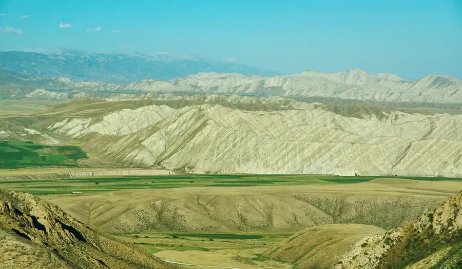
After Osh or the northern road, this is the useful moment for food, supplies, map names, and one calmer decision before forest or lake country.
Before you go
Jalal-Abad / Manas is strongest when it solves one question: where to sleep, where to turn, or what to check before the western road changes character.
You may see both Jalal-Abad and Manas in tickets, road signs, maps, and local directions. Keeping both names visible makes the journey easier without turning the stop into a naming lecture.
The city matters most when it makes the next road easier to understand.
A bazaar walk, mineral-water story, or local-history stop belongs here only when access is current and the guide can make it useful. Otherwise, the better choice is a straightforward road stop.
Arslanbob and Sary-Chelek are not small add-ons to the same stop. Each changes the journey with hosts, roads, access checks, and slower landscape time.
Keep Jalal-Abad / Manas clear, practical, and tied to one onward choice.
At a glance Route role
Use the city to clarify the western route, not to fill time with weak stops.
Name note
The official name has changed, while many maps and travel materials still use Jalal-Abad.
Main directions
The city helps these choices feel orderly before the route widens.
City stops
Wellness, bazaar, and museum ideas need current access and local confirmation.
Season and roads
Western valleys, lake country, and northern returns depend on weather, road condition, and access rules.
Nearby places
Arslanbob, Osh, and Uzgen are the clearest route-ready continuations from the city. Sary-Chelek stays in map and planning context until current checks support the journey.
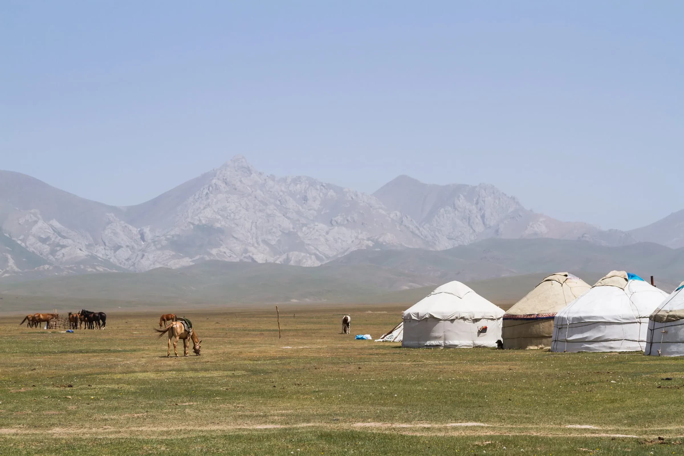
Arslanbob is a walnut-forest village above the Jalal-Abad road, where shaded paths and the Big Waterfall make southern Kyrgyzstan slow down.
View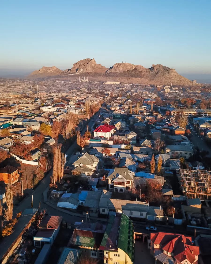
Osh is where Kyrgyzstan turns south: Sulaiman-Too above the city, bazaar lanes below it, and roads toward Uzgen, Alay, Sary-Mogul, and the Fergana edge.
ViewUzgen is the Osh-side Silk Road town where Karakhanid brickwork, a compact town setting, and the return road turn one heritage stop into a calmer southern route choice.
ViewCity in detail
Walking time, overnight location, and when day trips make sense.
one focused city day plus overnight is usually enough when the old core or main anchors get a full walking window. City tone: “Western Kyrgyzstan stop before Arslanbob and Sary-Chelek”.
Start with the compact city walk first. Day trips only after the centre has settled — otherwise the stop feels like a transfer with monuments attached.
Stay close enough for an evening return on foot or a short transfer. That keeps tea, dinner, and a second pass through the lanes easy without burning the next morning.
On request
We help agencies set a realistic pace and choose the right next move — without rushing the places that matter.