TourLink
About
Issyk-Kul changes the pace of a Kyrgyzstan route before the road climbs higher.
The region is easiest to plan as three linked decisions: the north shore around Cholpon-Ata, Karakol as the eastern town anchor, and the quieter south-shore road through Bokonbayevo toward canyons, villages, and valley access.
A full loop from Bishkek can include both shores, but a shorter route should choose the lake stops and mountain side deliberately.
Agencies and travellers who need Issyk-Kul & Karakol as a readable stop — strong places, honest pacing, and logistics that hold.
Getting around
The region is easiest to plan as three linked decisions: the north shore around Cholpon-Ata, Karakol as the eastern town anchor, and the quieter south-shore road through Bokonbayevo toward canyons, villages, and valley access.
Route choices
A full loop from Bishkek can include both shores, but a shorter route should choose the lake stops and mountain side deliberately.
The north shore brings lake views, resort infrastructure, and petroglyph context before the road continues east.
Route map
The map keeps Karakol and the city stops visible while the wider route context stays in the plan: lake-shore roads, south-shore villages, and valley choices.
Region character
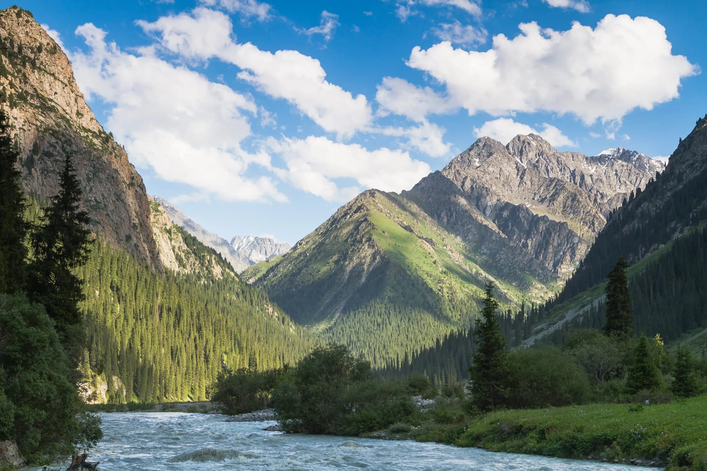
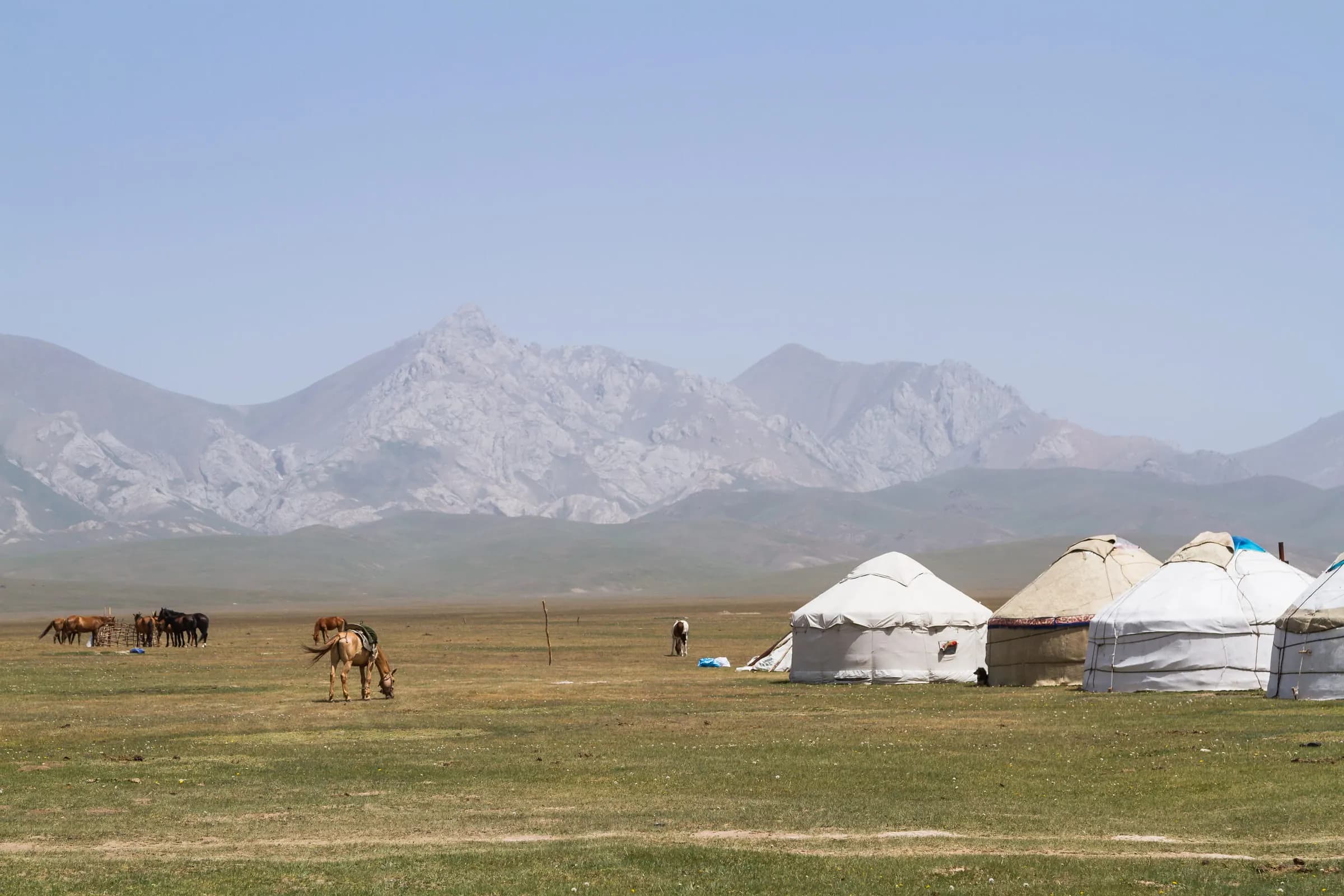
The region is strongest when the lake and the mountains are not collapsed into one stop. Issyk-Kul gives the route distance, light, and shore life; Karakol turns the eastern side into food, town walks, and practical mountain choices.
Region areas
Start with Karakol as the eastern town anchor, then plan Cholpon-Ata for the north shore and Bokonbayevo for the quieter south shore when the route needs the full lake loop.
Karakol gives eastern Issyk-Kul its town rhythm before the route climbs higher. Dungan kitchens, a painted wooden mosque, a timber cathedral, guesthouses, and museum context help travelers choose whether the next day belongs to Jeti-Oguz, Altyn-Arashan, Ala-Kol, hot springs, or a
Open placeWhat to see
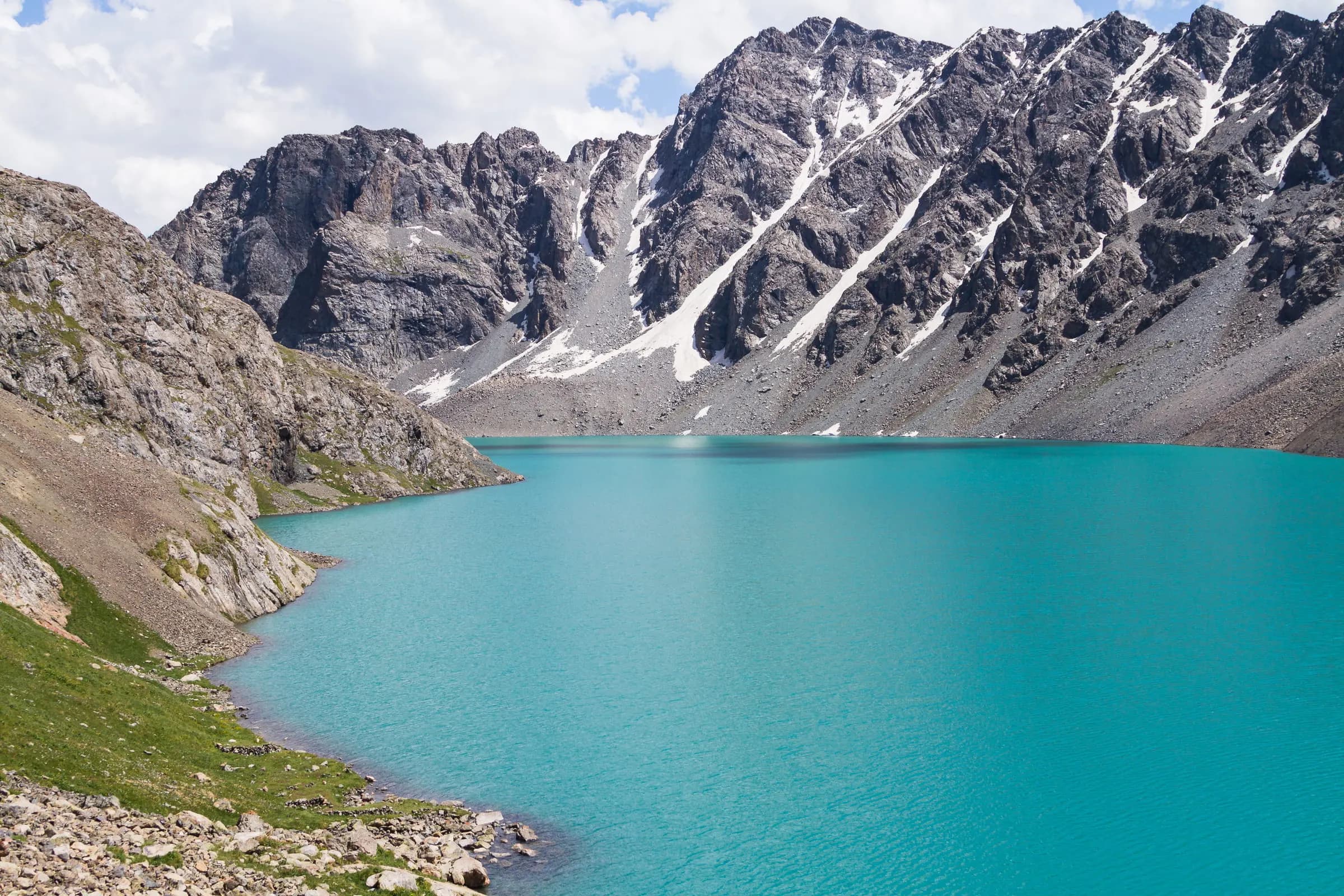
Begin with Karakol's Dungan Mosque, Holy Trinity Cathedral, and Przhevalsky Museum; then decide whether the wider route should add Jeti-Oguz, Skazka Canyon, Barskoon, Tamga, or Altyn-Arashan.
Przhevalsky Museum and Memorial gives Karakol a quieter historical edge outside the town center. After the Dungan Mosque, Holy Trinity Cathedral, and local food, the museum and memorial widen the story toward exploration, memory, and the eastern side of Issyk-Kul.
Open placeHoly Trinity Cathedral is Karakol's wooden Orthodox landmark: painted timber, garden shade, and a living church setting near the town center. It pairs naturally with the Dungan Mosque because the two places show different communities leaving visible marks in the same mountain tow
Open placeDungan Mosque is one of Karakol's clearest city landmarks: painted wooden detail, a modest courtyard, and a religious setting near the town center. It belongs beside Holy Trinity Cathedral and a slower Karakol walk, showing how communities, worship, food, and mountain roads meet
Open placeRegion in detail
Pace, season, and how this region connects to the next stop.
2–3 days usually works if you keep one strong core and treat outer stops as deliberate choices. The region brief is “Lake roads, red canyons, and a mountain town”.
Use neighbouring cities as clean handovers: arrive with a calm first night, leave after one completed chapter, and avoid stacking two long transfers on the same day.
Heat, altitude, road condition, and opening hours change the product more than the brochure list. Build the region around what stays comfortable for the group that week.
On request
We help agencies set a realistic pace and choose the right extensions — without rushing the places that matter.