
TourLink
About
After Termez, Baysuntau changes the southern route from open archaeological ground to mountain roads above Boysun: ridges, ravines, cave context, village courtyards, and seasonal access that should be checked before the route is confirmed.
Baysuntau matters because it gives the southern route a different scale.
Keep this stop clear on the map and in the day plan — Ridges, canyons, and village roads above Boysun.
Agencies and travellers who need Baysuntau Mountains as a readable stop — honest timing and a clear place on the route.
On the map
One clear point for Baysuntau Mountains — Ridges, canyons, and village roads above Boysun.
Place
The map pin marks this attraction so the stop stays readable in the day plan.
Why this place
Baysuntau matters because it gives the southern route a different scale. Termez explains the region through museums, Buddhist sites, and shrine courtyards; Boysun and its mountains bring the route toward road, village life, and the wider landscape.
What you may see
The visual story is simple: mountain lines, dry ravines, red earth, meadow edges, and village courtyards where the range stays close.
How to visit
Baysuntau works best when the route is planned around current road conditions, season, and local access. Think in viewpoints, village pauses, and suitable mountain roads, not a single fixed entrance.
What to connect nearby
The useful context is regional, not walking-close: Termez gives museum rooms, Buddhist sites, Ancient Termiz, and shrine courtyards before or after the road to Boysun.
Termez Archaeological Museum brings Buddhist finds, Kushan history, ceramics, stone objects, and site maps together before the route continues to Fayaz Tepa, Zurmala, and Ancient Termiz.
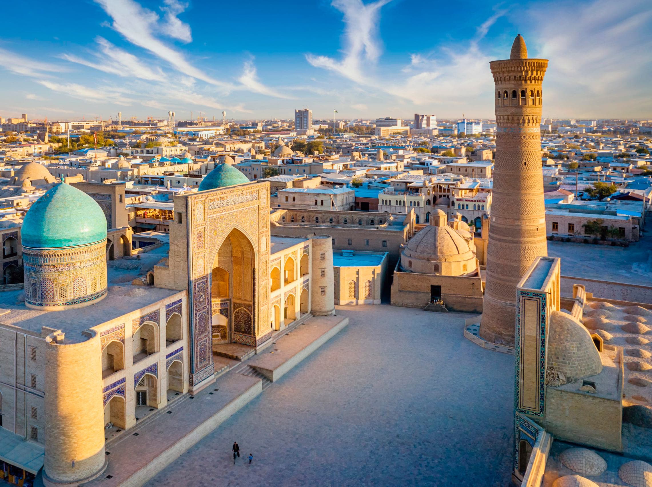
ViewFayaz Tepa is the Buddhist monastery site near Old Termez, where low clay walls, stupa remains, and museum context make ancient Termez easier to read.
View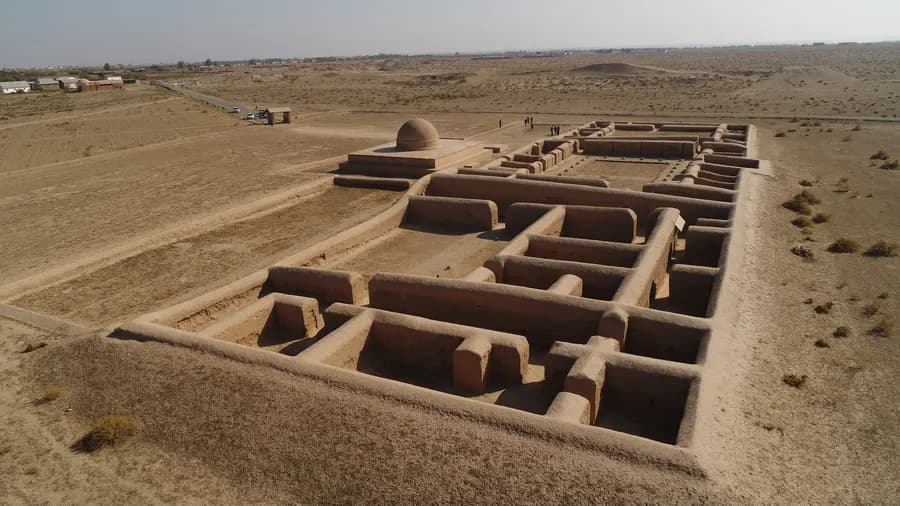
Ancient Termiz, also known as Old Termez, is the archaeological landscape west of modern Termez, where citadel traces, Buddhist sites, shrine routes, and the Amu Darya edge connect the southern route.
View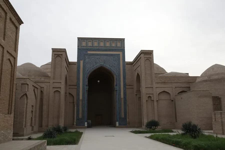
Sultan Saodat brings the Termez route to a memorial complex of brick mausoleums, ayvans, long courtyards, and the Termez Seyyids.
ViewPlace in detail
Timing, best hours, and how this stop fits neighbouring pins.
1–2 hours is a practical range for most groups. Keep the stop readable: one clear arrival, one clear exit. Place tone: “Ridges, canyons, and village roads above Boysun”.
Prefer when the light is soft and queues are lighter. That usually improves comfort, photos, and how the stop feels in the sequence around boysun.
Treat it as one clear pin on the map: arrive intentionally, avoid sandwiching it between two rushed monuments, and keep the next move short enough that the group still has energy.
On request
We help agencies place this stop with realistic timing — without rushing the places that matter.