TourLink
About
Near Navoi, Rabat-i Malik is a place to read the road rather than a city to walk through.
The visit is short, but the order matters: begin at the surviving portal, then carry that image to the sardoba, where the practical story of water, shade, animals, and rest becomes clear.
Rabat-i Malik works best on a transfer planned as a deliberate heritage stop between Bukhara, Samarkand, Navoi, Sarmyshsay, Nurata, or Aydarkul.
Agencies and travellers who need Rabat-i Malik as a readable stop — strong places, honest pacing, and logistics that hold.
Getting around
The visit is short, but the order matters: begin at the surviving portal, then carry that image to the sardoba, where the practical story of water, shade, animals, and rest becomes clear.
Route fit
Rabat-i Malik works best on a transfer planned as a deliberate heritage stop between Bukhara, Samarkand, Navoi, Sarmyshsay, Nurata, or Aydarkul.
The portal gives the stop its first image: patterned brick, height, and the sense of a threshold on the open plain.
Map context
The two Rabat-i Malik points mark the portal and sardoba. Sarmyshsay and Nurata show how the same middle route can continue toward rock art, spring water, and the Kyzylkum edge.
What to see
The caravanserai portal gives Rabat-i Malik scale and arrival; the sardoba beside it explains how water made that stop possible.
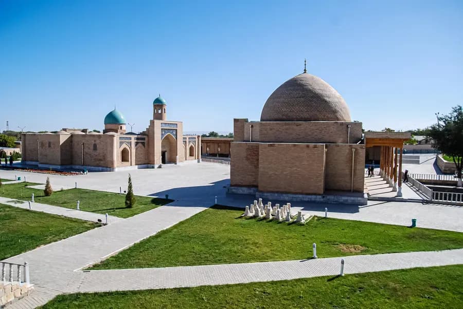
On the open road near Navoi, Rabat-i Malik turns a transfer into a real Silk Road stop. The high brick portal shows arrival first; the nearby sardoba explains how water and shade made movement possible across the plain.
Open place
Rabati Malik Sardoba gives the old Navoi road its practical half. The caravanserai portal speaks of arrival and scale; the brick cistern beside it speaks of water, shade, animals, and the care that made the next stage possible.
Open placeHow it feels
The strongest visit keeps three threads together: the threshold of the portal, the water logic of the sardoba, and the guide context that links both to the wider Silk Road.
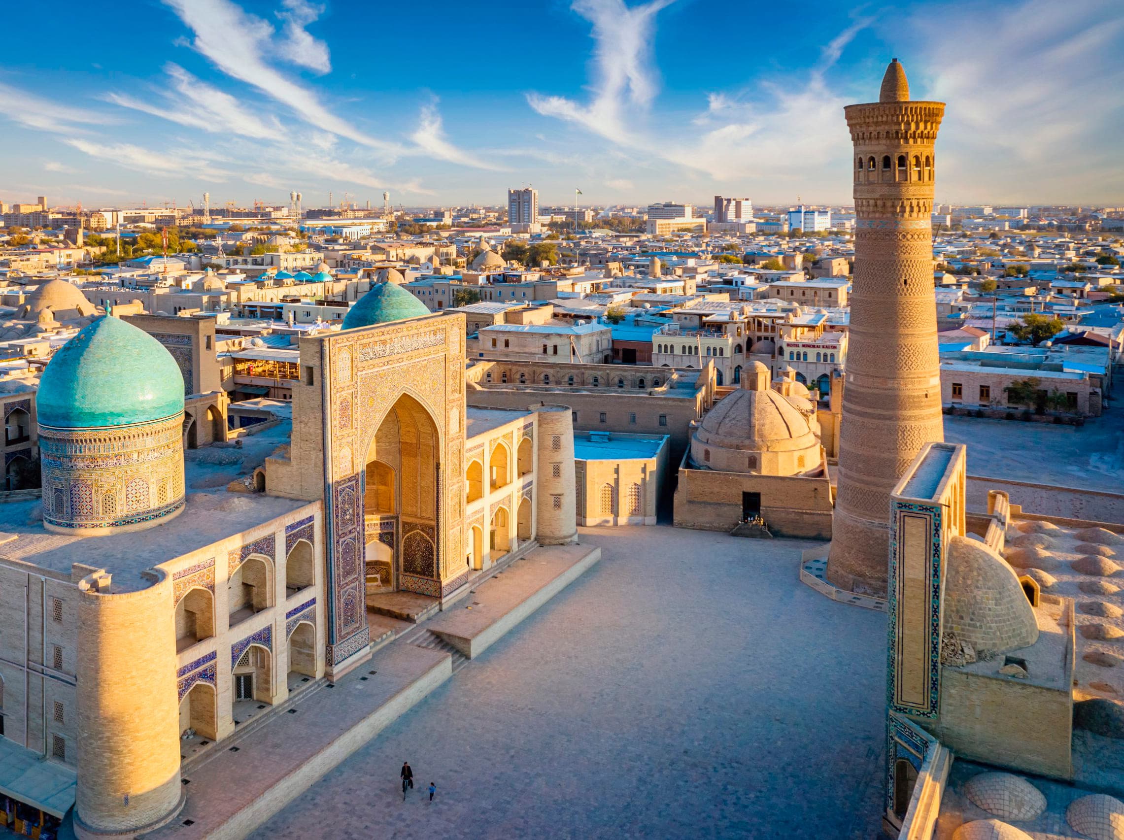
Begin with the road-facing portal, then move to the sardoba beside it: brick, shadow, stored water, and guide context make the short stop feel human.
Softer light brings out the patterned brick and the flat plain around it, so the caravanserai reads as a threshold rather than a ruin beside the road.
After the portal and sardoba, the route can continue toward Sarmyshsay, Nurata, or Aydarkul with a clearer sense of how water shaped this middle road.
Before you go
This is not a long city stop. Its value is concentration: one surviving portal, one water structure, and enough context to understand how a road across the plain once supported people, animals, and trade.
Stand with the entrance before turning it into a date. The height, patterned brick, and road-facing position show arrival, protection, and the scale of movement across the plain.
The portal gives the road a threshold; the sardoba gives it water.
The water dome makes the stop human. It shifts attention from architecture to thirst, shade, stored water, and the care a caravan route needed.
Use UNESCO wording carefully: the caravanserai and sardoba are components of the Silk Roads: Zarafshan-Karakum Corridor, while exact approach, parking, and on-site movement still need current local guidance.
Rabat-i Malik fits when the route needs one clear Silk Road image between larger stops: not a long detour, but a focused place to understand arrival, water, heat, and rest.
Before you go Route role
Short heritage stop near Navoi between Bukhara, Samarkand, and the Nurata route.
Main magnet
A surviving caravanserai portal paired with the nearby Rabati Malik Sardoba.
Corridor status
Both Rabati Malik components are mapped within the Silk Roads: Zarafshan-Karakum Corridor inscription.
Light and heat
Softer light helps the brick read clearly; hot months need water and shade awareness.
Route connections
From the portal and sardoba, the middle route can turn toward Sarmyshsay's rock art, Nurata's Chashma spring, Aydarkul's open shore, or the road back toward Bukhara.
Sarmyshsay is the rock-art gorge on the Nurata and Kyzylkum route, with petroglyph walls, dark patina, guide context, and careful walking.
View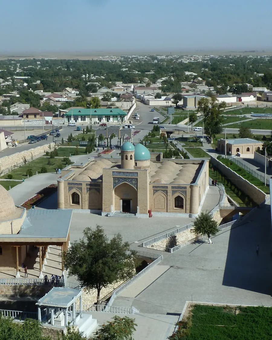
Nurata is the spring town before the Kyzylkum road: Chashma water, mosque shade, Nur Fortress above town, and the onward road to Aydarkul or Sentyab.
View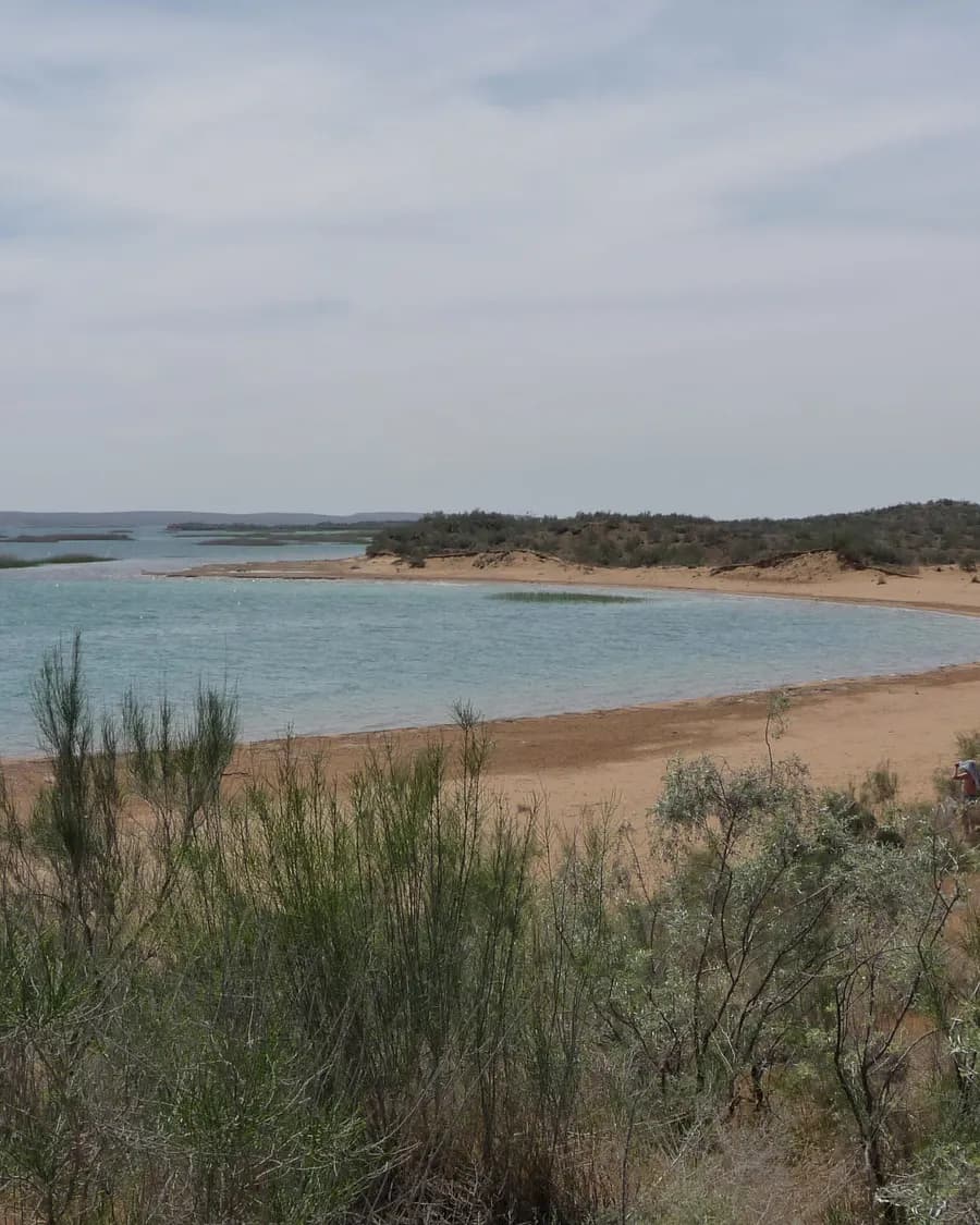
Aydarkul is the lake stop on the Kyzylkum road: open shore, reeds in the wind, soft sand, seasonal bird movement, and a route back toward Nurata or Sentyab.
ViewCity in detail
Walking time, overnight location, and when day trips make sense.
1–2 nights is usually enough when the old core or main anchors get a full walking window. City tone: “A Karakhanid portal and water dome near Navoi”.
Start with the compact city walk first. Day trips only after the centre has settled — otherwise the stop feels like a transfer with monuments attached.
Stay close enough for an evening return on foot or a short transfer. That keeps tea, dinner, and a second pass through the lanes easy without burning the next morning.
On request
We help agencies set a realistic pace and choose the right next move — without rushing the places that matter.