TourLink
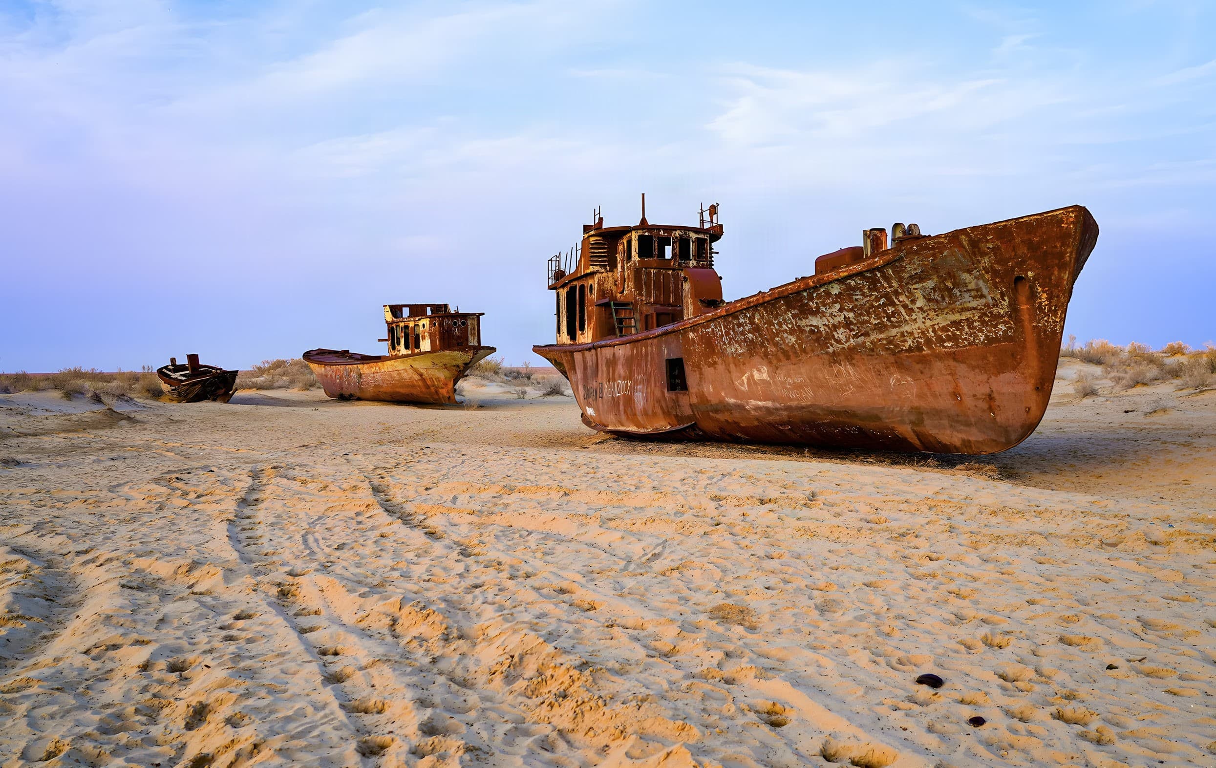
Muynak and the Aral region are a story of water, landscape and people.
River water diverted for agriculture from the 1960s
Vessels in the area of the former port
Today's shoreline is planned as a separate journey
The story of the Aral needs to be told without dramatic shortcuts. Muynak and the Aral region are a story of water, landscape and people, and one photograph cannot explain the whole region.
01
From the 1960s, large-scale diversion of water from the rivers that fed the Aral for agriculture caused the body of water to shrink dramatically. Different parts changed in different ways, however, so one photograph cannot explain the whole region.
The transformation affected ecosystems, livelihoods and people's lives. In Muynak, the connection between water, human decisions and the fate of a territory is especially tangible. That context helps you see the place not as a backdrop from the past, but as somewhere with a complex human history.
02
Muynak is worth visiting for more than a single photograph. Here you can see vessels in the area of the former port and learn about a territory whose relationship with the shoreline was once completely different.
But Muynak, today's shoreline and a longer journey through the Aral region are separate undertakings. If you continue farther, distances, roads, transport and overnight stays need to be checked independently.
03
The vessels in Muynak stand in the area of the former port. Visiting them does not mean you have reached the present-day shore of the Aral. Any journey farther on must be planned separately.
To take into account before going farther
Share
A tour on this topic
You do not need to know the route in advance. Five answers are enough to start the conversation.
More on the topic